EVENT MAPS
-

Course Maps
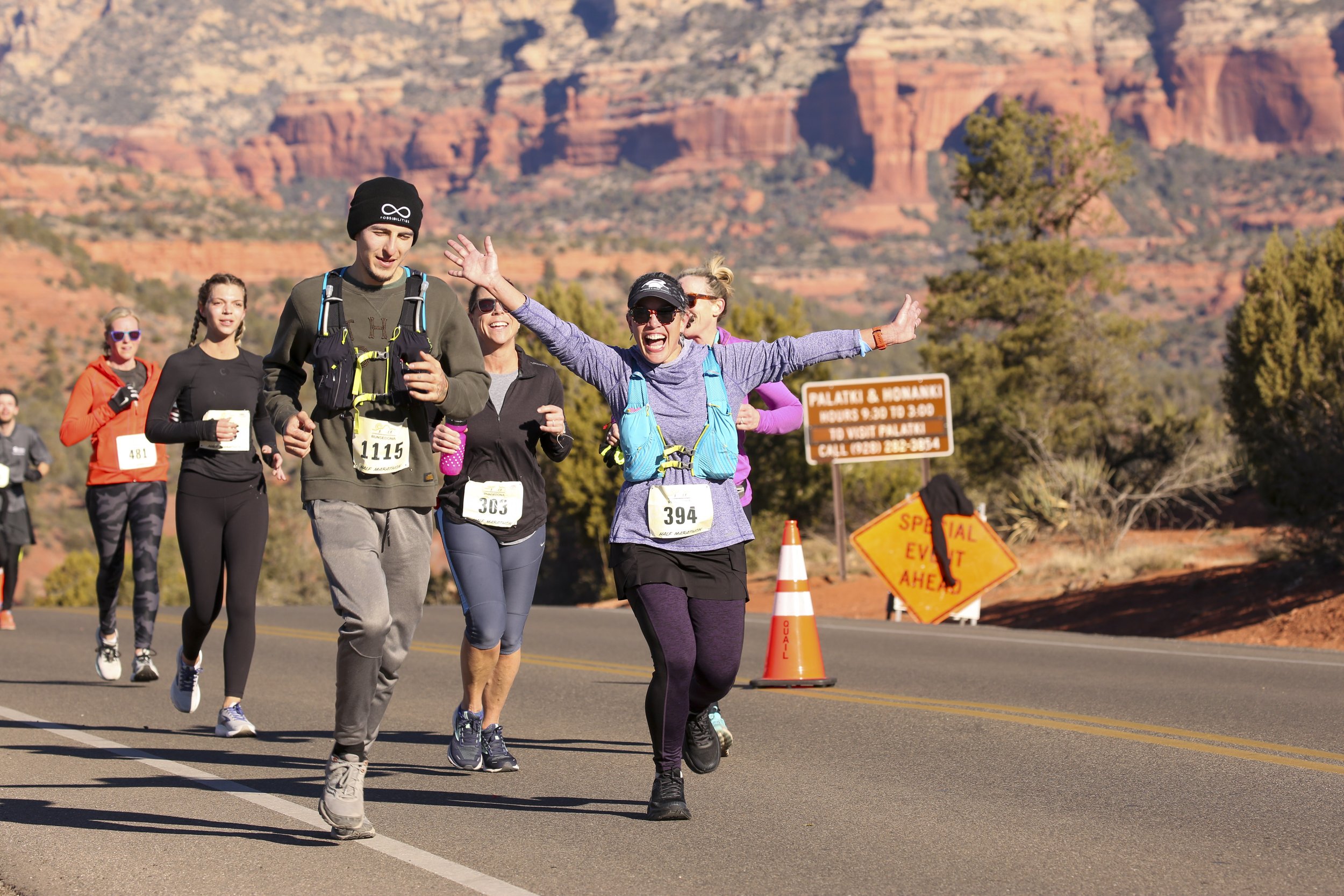
Nestled just over 4,300 feet above sea level, the RunSedona course offers a spectacular road race experience. In addition to breathtaking views, the course features rolling hills and consists entirely of asphalt roads.
Characteristics:
Terrain: All races take place on asphalt roads.
Elevation: Expect moderate elevation gain with gentle rolling hills.
Difficulty: The race is considered moderate and accessible to runners of all skill levels.
-

Parking and Shuttles
The race starts close to the Verde Valley Medical Center in Sedona. We offer FREE race day shuttle service! Look for the school buses wearing RunSedona signs and hop on! Friends and family are allowed on the shuttles also, but please make sure all the athletes get to the starting line first. Shuttles will come by approximately every 20 minutes.
Pro tip! Allow extra time in case a shuttle comes by that is already full. It may be a better idea to walk if you are short on time. Athlete Parking is available at Red Rock High School.
The City of Sedona also offers shuttle options that you can utilize for a fare.
-
Road Closures
Due to heavy runner volume – closure will be required for participant safety. Dry Creek Road will be closed to all vehicles on race day from 7:30 am to 11:30 am.
Residents and businesses located near the race route are urged to be aware of road closure schedules and to plan ahead for alternate access routes. Residents may experience minor delays in their neighborhood along the route
-
Trailhead Impacts
Drivers are encouraged to adjust travel time within and around the RunSedona race route on Dry Creek Road and plan for an alternate route or added travel time. Hikers planning to hike that morning are encouraged to be aware of the impacts to trailheads and plan ahead to get the most out of your weekend and minimize stress. Visit the map to view the trailheads that will be impacted on race day.
-
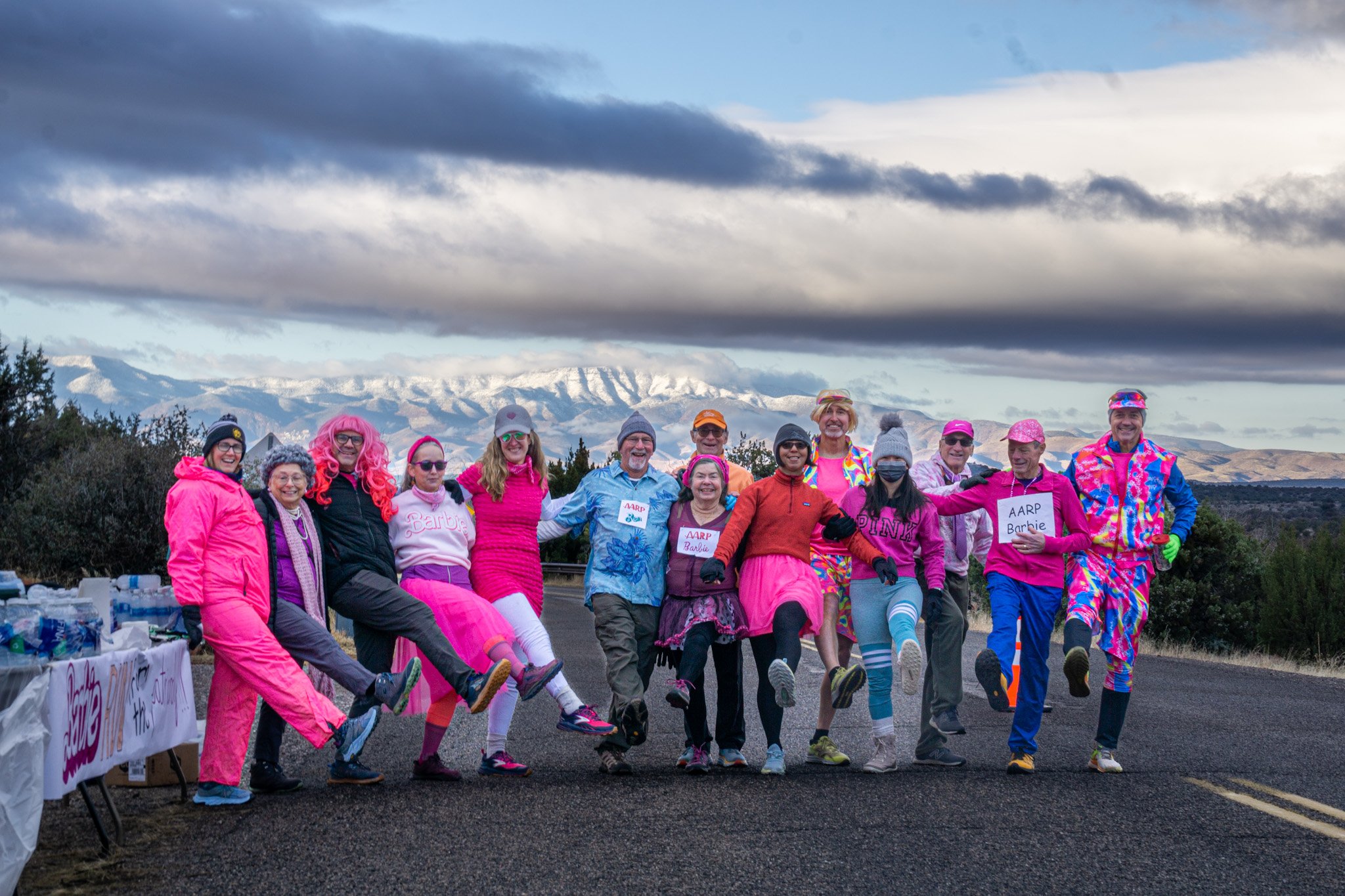
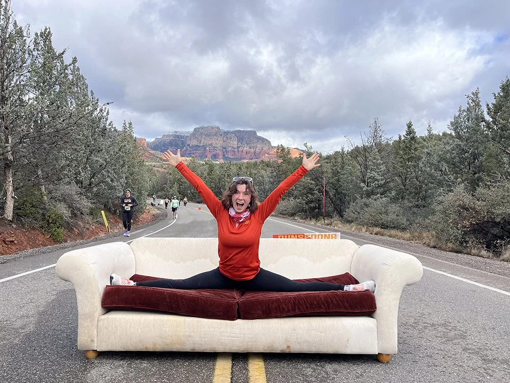
Aid Stations
RunSedona offers four (4) Aid Stations on course and all are staffed by Volunteer groups vying for the chance to be voted your favorite! See the Aid Station map for details on location and nutrition at each Aid Station.
-
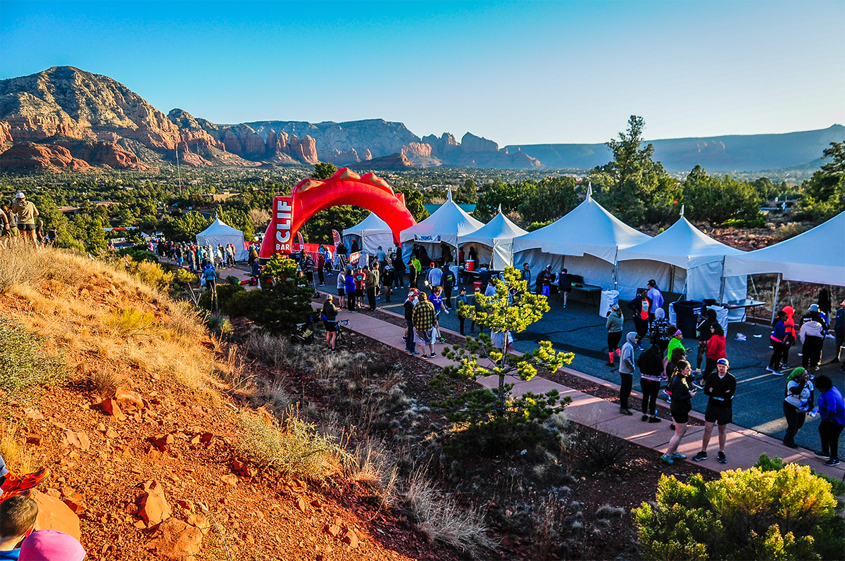
Race Day Concourse
The fun begins after you cross the finish line - download the map and visit our vendors in the Expo on Race Day!